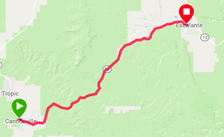
This is the day that my route branches off from James and Kate's. They are heading south on the Grand Canyon route while I continue with the Western Express. There is a strong south wind today, so as they head south they will be experiencing headwinds. Thanks Val for the photo.
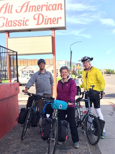
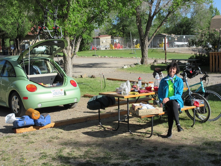
After breakfast I bid a sad farewell to Kate and James. They turned out to be excellent traveling companions. Val is fairly new to bicycle touring so she brought her car. The plan is for her to drive to the destination each day and ride backwards to meet me on the route. She also carries most of my panniers in the car, which is an especially good deal for me today since there is a lot of climbing.
I had some headwinds also at times but also some nice tailwinds that helped push me up some of the hills. Most times the wind doesn't make much difference on a steep hill because almost all your energy is going into overcoming gravity, but the wind was so strong today that it definitely made a noticeable difference.
Even with all the climbing today, I didn't have any difficulty with the ride. Of course, the main reason was not having to carry all my gear on the bike, but the rest day also helped a lot, along with the enormous dinner I had last night and the big breakfast this morning.
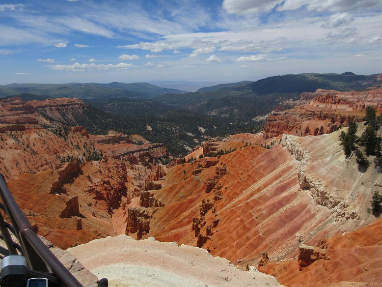
The view from the overlook at Cedar Breaks is spectacular. The photo doesn't do it justice.
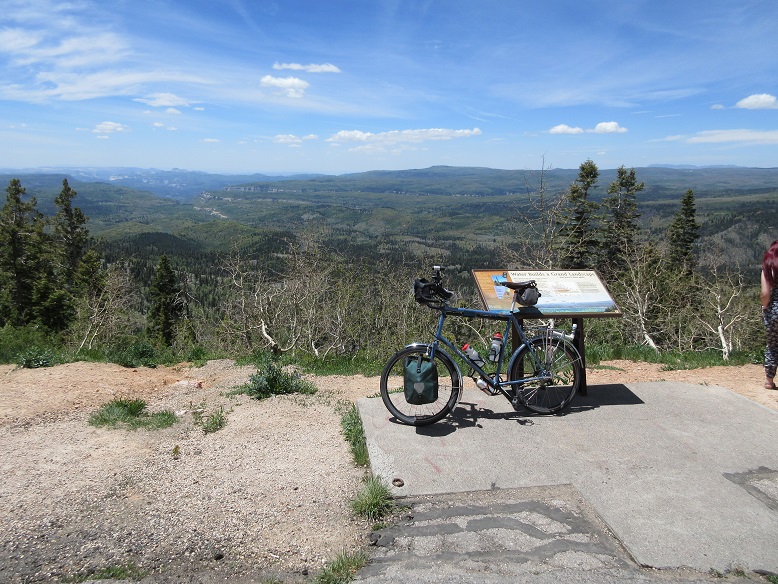
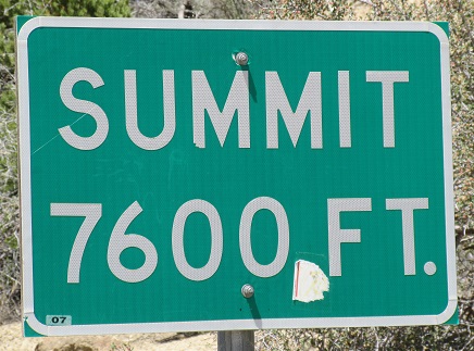
There are about three summits at the top of the climb today. This is the one the Garmin said was the highest.

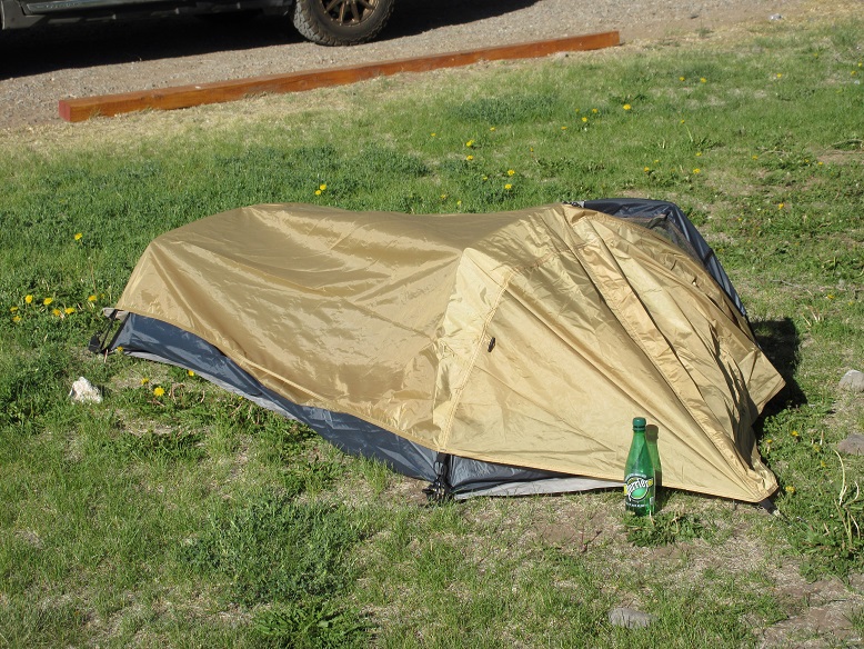
We're camped at the KOA in Panguitch. I helped Val put up her brand-new tent so you can blame me for the sags. :=)
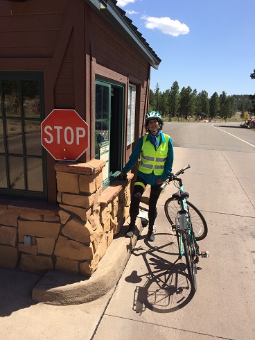
At the trailhead of the Red Canyon Trail, which parallels Hwy 12, I met a couple of young women who just graduated from college and are doing a cross-country, self-supported bicycle tour. I had to explain why my bike had no panniers.
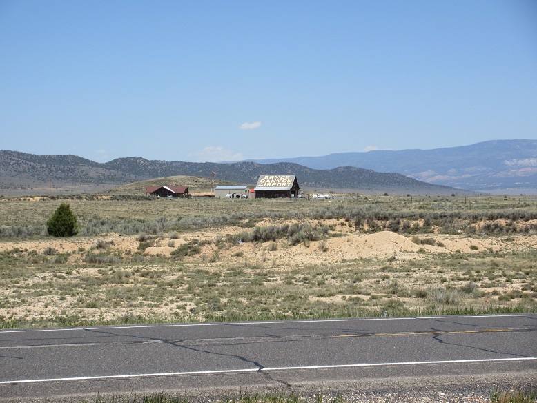
Val parked the car near the entrance to the park and rode backwards and met me on the trail. She was amused by this airport out in the middle of nowhere.
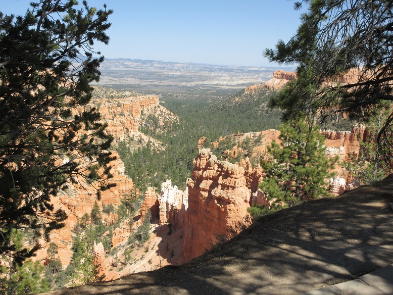
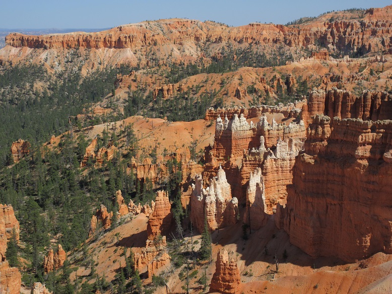
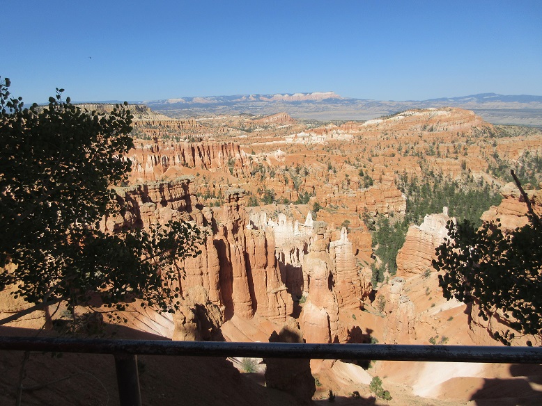
The highlight of the day was a brief visit to Bryce Canyon National Park.
We didn't get an early enough start to do an extensive tour of the park, but we did hike a short way down the Sunset Trail and got a flavor of the place.
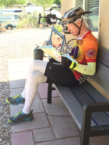
Here I am with the Adventure Cycling map plotting the next day's destination.
On recommendation of the KOA staff, we had dinner at a barbecue food truck parked nearby. It was just the thing.
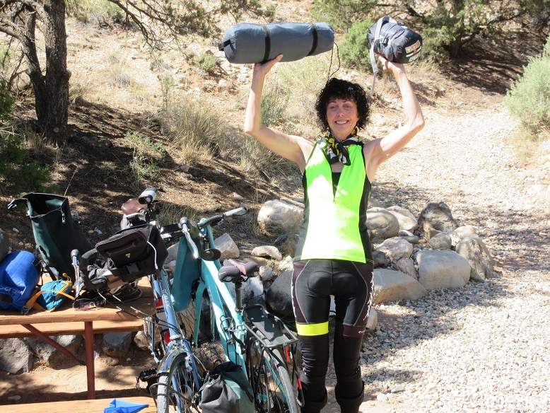
Val was very proud that she managed to get her brand-new tent and sleeping bag back into the original pouches.
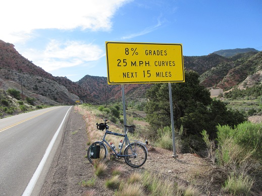
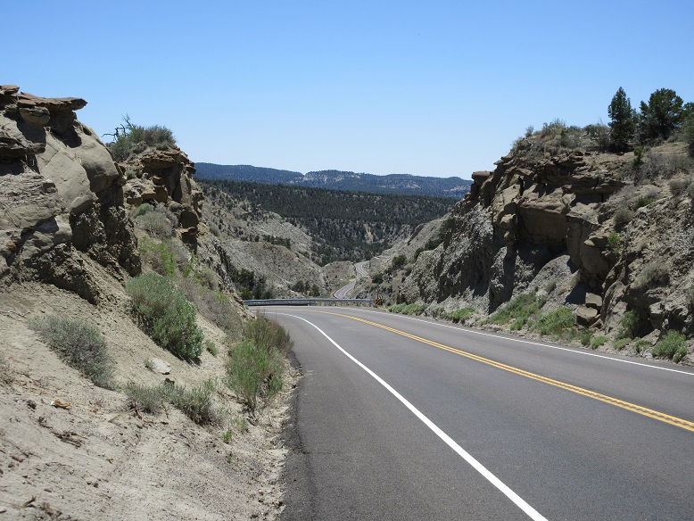
The climb today was quite steep in places. You can see the road far below.
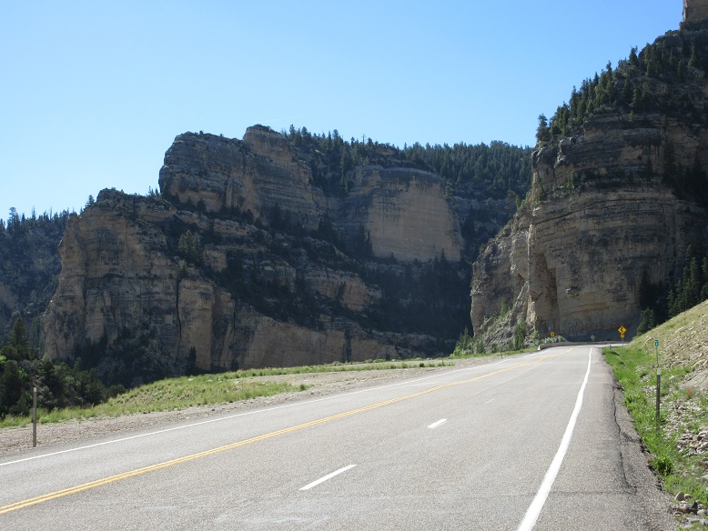
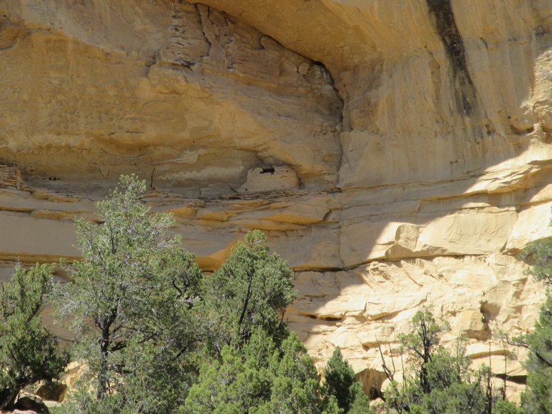
Route 12 is considered one of the more scenic highways in the US, even if you don't go into the national parks. This is a photo of an ancient Indian granary located up on the side of a cliff. That little box with the hole on top is actually the height of a man.
Last updated June 2, 2018