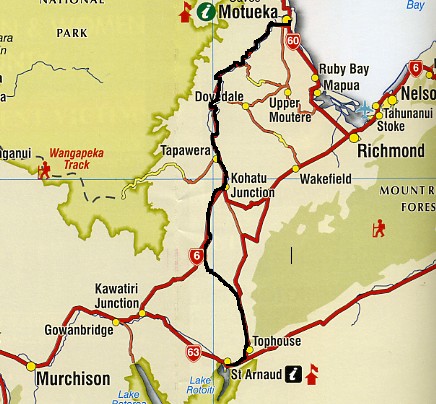
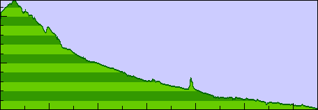
66 miles, 715 feet of climb, 2359 ft max
 It rained hard last night. At 4:00 am it was coming down in buckets. But for the ride,
we had only intermittent light rain and drizzle for the first hour or so and then partly
cloudy for the rest of the day.
It rained hard last night. At 4:00 am it was coming down in buckets. But for the ride,
we had only intermittent light rain and drizzle for the first hour or so and then partly
cloudy for the rest of the day.
Kerrs Hill Rd is being repaved. At the turn we could see the loose gravel surface going
up the steep hill. Sue spoke with a construction worker who assured us that we could
stay on Korere-Tophouse Road which is paved all the way to SH6, despite what the AA map says.
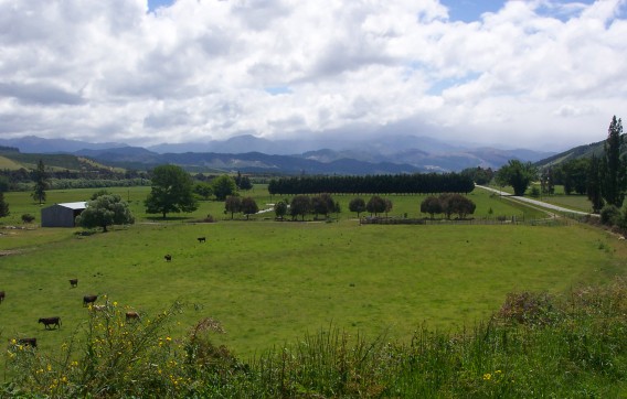
 It turned out to be a beautiful route. Warm weather and great scenery. We had lunch
at Kohatu Junction. Sue took this photo.
It turned out to be a beautiful route. Warm weather and great scenery. We had lunch
at Kohatu Junction. Sue took this photo.
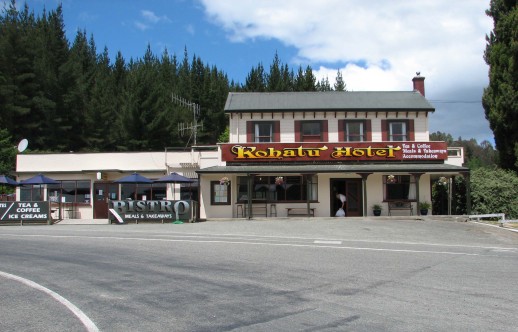
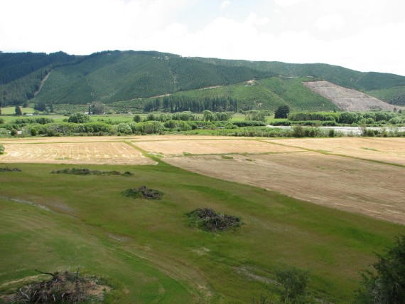 Then she turned around and shot a photo looking across the road.
At the "Laughing Kiwi" hostel in Motueka, we talked with a couple of German girls who are spending four months in NZ on a work visa. We also had a long conversation about nothing in particular with a 35-year-old German fellow who loved to talk.
We walked down the street to the "New World" grocery and bought two bags of tortelini
and fresh broccoli for dinner and fruit, yogurt and scones for breakfast tomorrow.